|
|
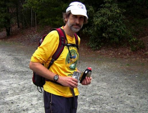
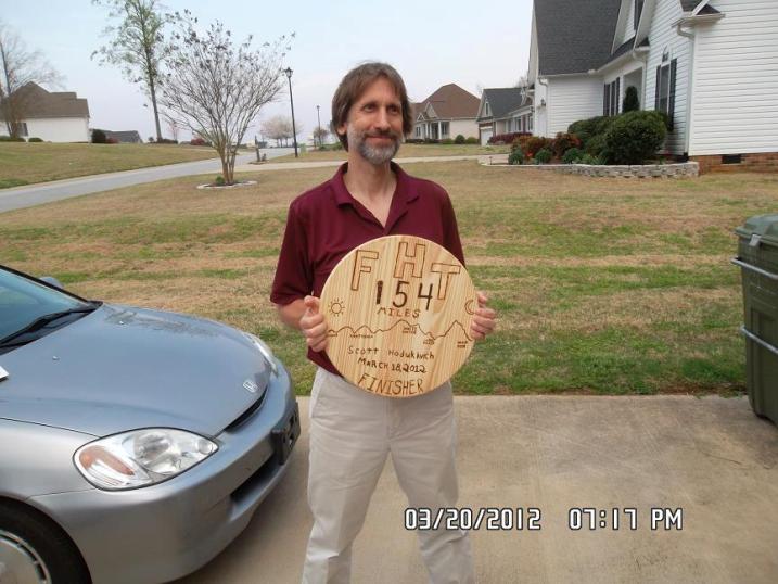
Scott Hodukavich - Age 48 - First finisher of the 154 Mile Foothills Ultra Run
Finishing Time (Including Rest) - 70:26
Split Information:
Oconee State Park to Table Rock State Park = 31:52
Congratulations to Scott being the first to ever finish a "Double FHT" well under the 72 hour cutoff!
|


Scott's Experience From The Run:
Cheohee Rd 15:44 Thurs (7 miles)
Burrells Ford 18:56 Thurs in 19:26 Thurs out (17 miles)
Fish Hatchery 20:34 Thurs (21 miles)
Sloan Bridge 21:40 Thurs (25 miles)
Whitewater Falls 23:17 Thurs in 00:19 Friday out (29 miles)
Laurel Valley 15:23 Friday in 16:24 Friday out (63 miles) notes - lost one hour, throwing up in LV, maybe heat exhaustion too
Sassafras Mt 18:30 Friday (68 miles) notes - Sully starting pacing half way up & half way down; waited out hail storm
Table Rock S.P. 22:09 Friday in 04:57 Sat out (77 miles) notes - 6 hrs 48 mins "transition time" before heading out again
Sassafrass Mt 08:23 Sat (86 miles)
Laurel Valley 09:53 Sat in 10:23 Sat out (91 miles)
Whitewater Falls 00:10 Sun in 01:18 Sun out (125 miles) notes - upset stomach again - Laurel Valley makes me sick apparently
Sloan Bridge 02:58 Sun (129 miles)
Fish Hatchery 04:40 Sun (133 miles)
Burrells Ford 06:46 Sun in notes - caught 30 min nap from Fishery under rock waiting out rain storm 07:10 Sun out (137 miles)
Cheohee Rd 10:42 Sun (147 miles)
Oconee S.P. 12:43 Sun (154 miles) notes - was met and given a ride back to my tent by Heyward Douglass
Transition Time = 6 hrs 48 mins
TR to Oconee = 31 hrs 46 mins total time = 70 hrs 26 mins